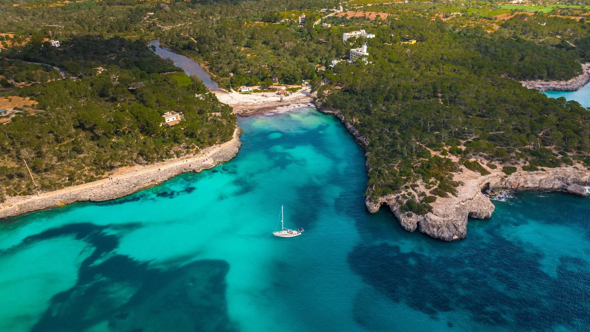
On the route
Cala MurtaBy boat from Alcúdia
A pebble cove on the Formentor peninsula, framed by pines and holm oaks. Protected from the north wind.
- about 9 nm
- about 35 min
- Pebble and sand cove
- at 15 knots
The chart
Key facts
- Distance
- 9 nm
- about, by sea from Port d'Alcúdia
- By boat
- 35 min
- about, at 15 knots
- Type
- Pebble and sand cove
- Seabed
- Pebbles and rocks. About 4 m deep 100 m out, and about 8 m another 100 m out.
- Position
- 39°56′N 3°11′E
On the water
What to do there
- 01Swim in clear water.
- 02Snorkel along the cliff to see the fish.
- 03Stop where the yachts do: it is a favourite anchorage.
Reading the sea
Best conditions
- Good
- Well protected from the north wind, which is why yachts anchor here.
- Watch out
- [Exposure to other winds to confirm]
Anchoring
A popular anchorage in summer. Anchor on the pebbles and sand, not on any Posidonia meadow.
Anchoring on Posidonia seagrass is banned in the Balearic Islands (Decree 25/2018, article 7). Anchor where you can see sand. Chains must not touch the meadow.
Authorised buoys and emergencies at sea are the only exceptions.
The Balearic government has a Posidonia map to help you choose a spot.
Open the Posidonia mapWhich boat
Boats for this trip
See the whole fleetAny of our boats can go.
Every boat needs a licence holder at the helm, or a skipper.
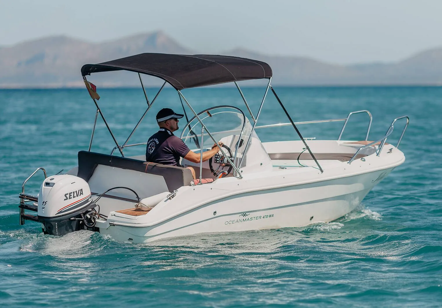 Ocean Master 40HP5 seats · 5 m · 40 hpLicencefrom €2634 h
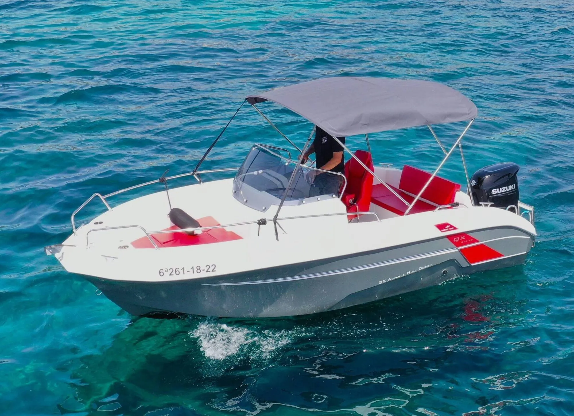 Marine Time 5626 seats · 5.65 m · 115 hpLicencefrom €3474 h
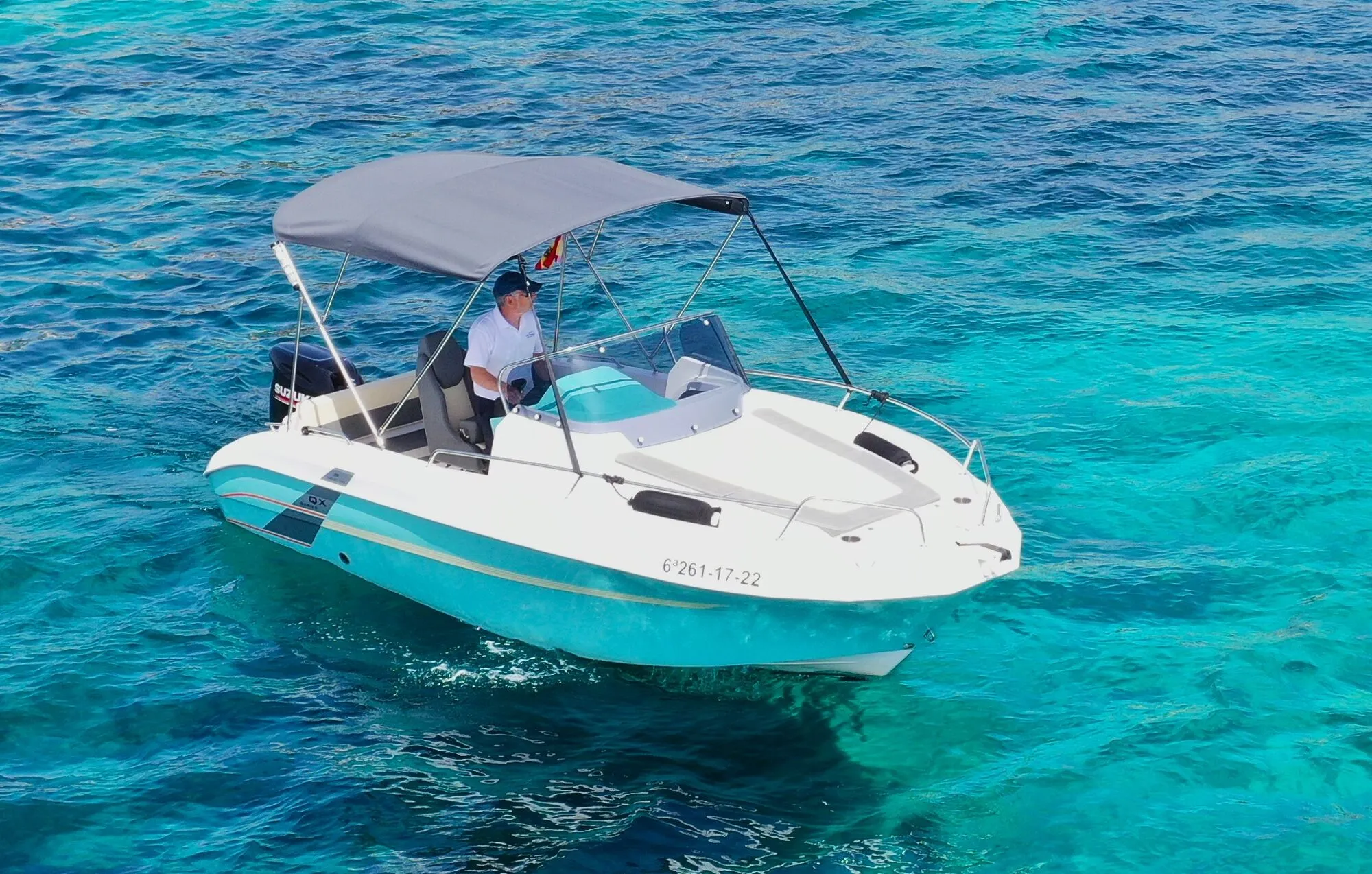 Marine Time 5636 seats · 5.65 m · 115 hpLicencefrom €3474 h
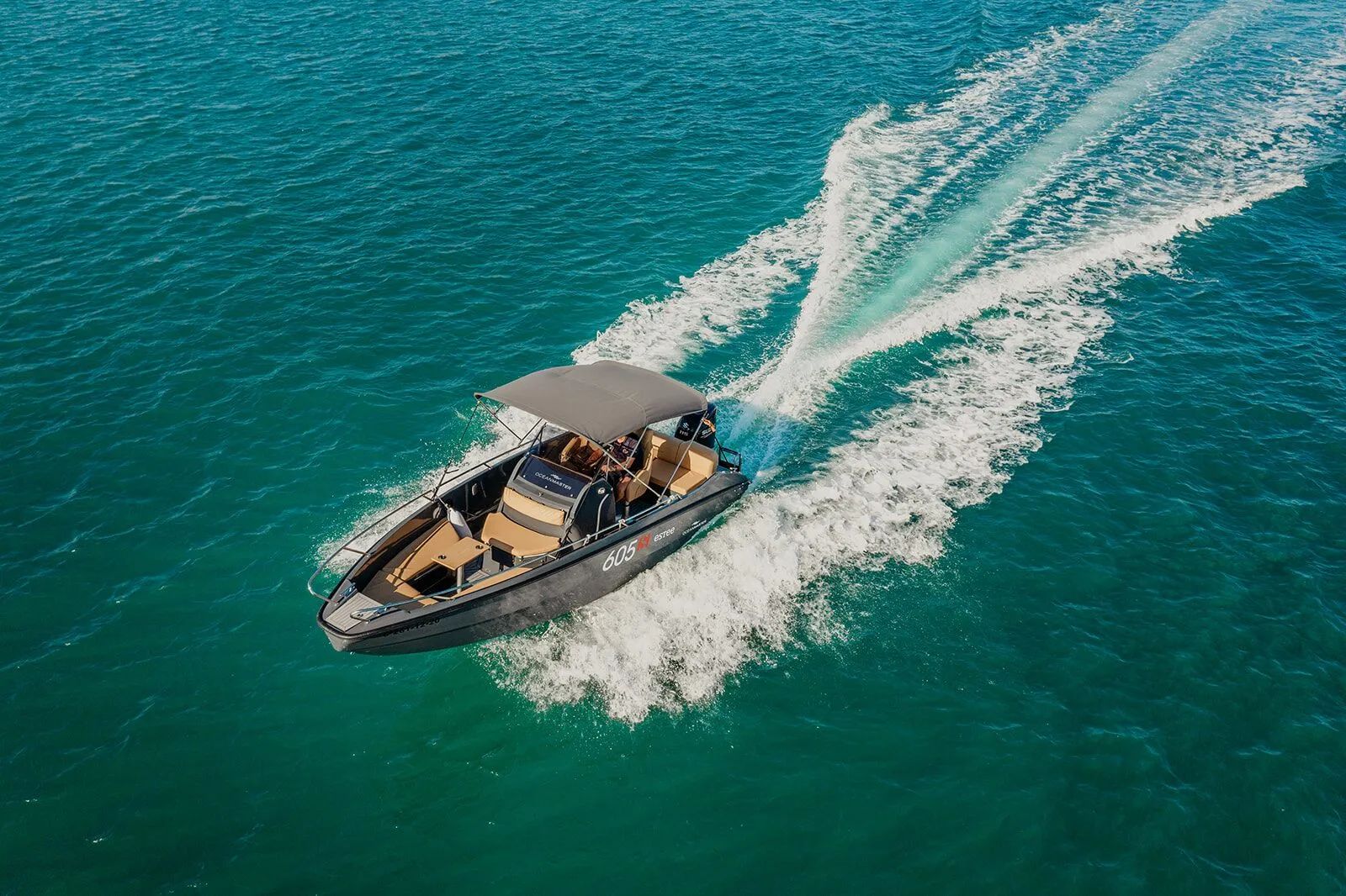 OceanMaster 6056 seats · 6 m · 140 hpLicence or skipperfrom €4414 h
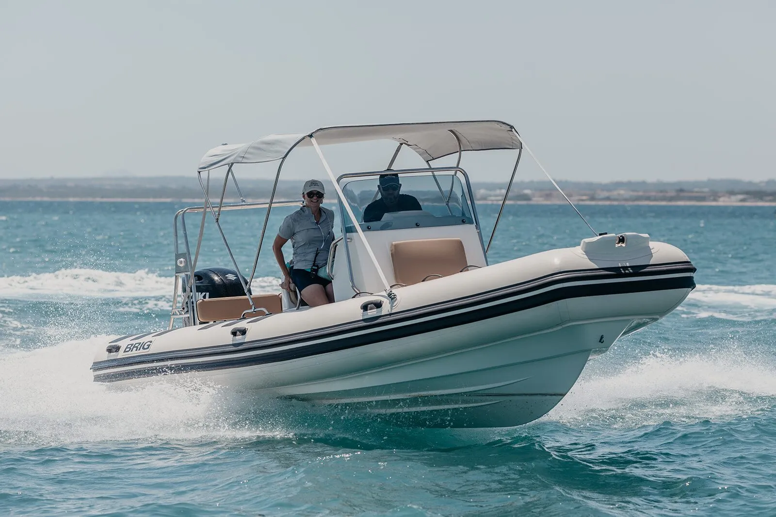 BRIG 70011 seats · 7 m · 175 hpLicence or skipperfrom €5154 h
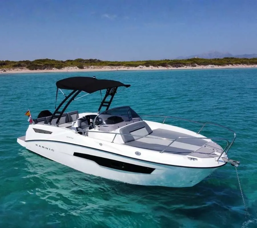 Karnic 6507 seats · 6.5 m · 225 hpLicence or skipperfrom €5294 h
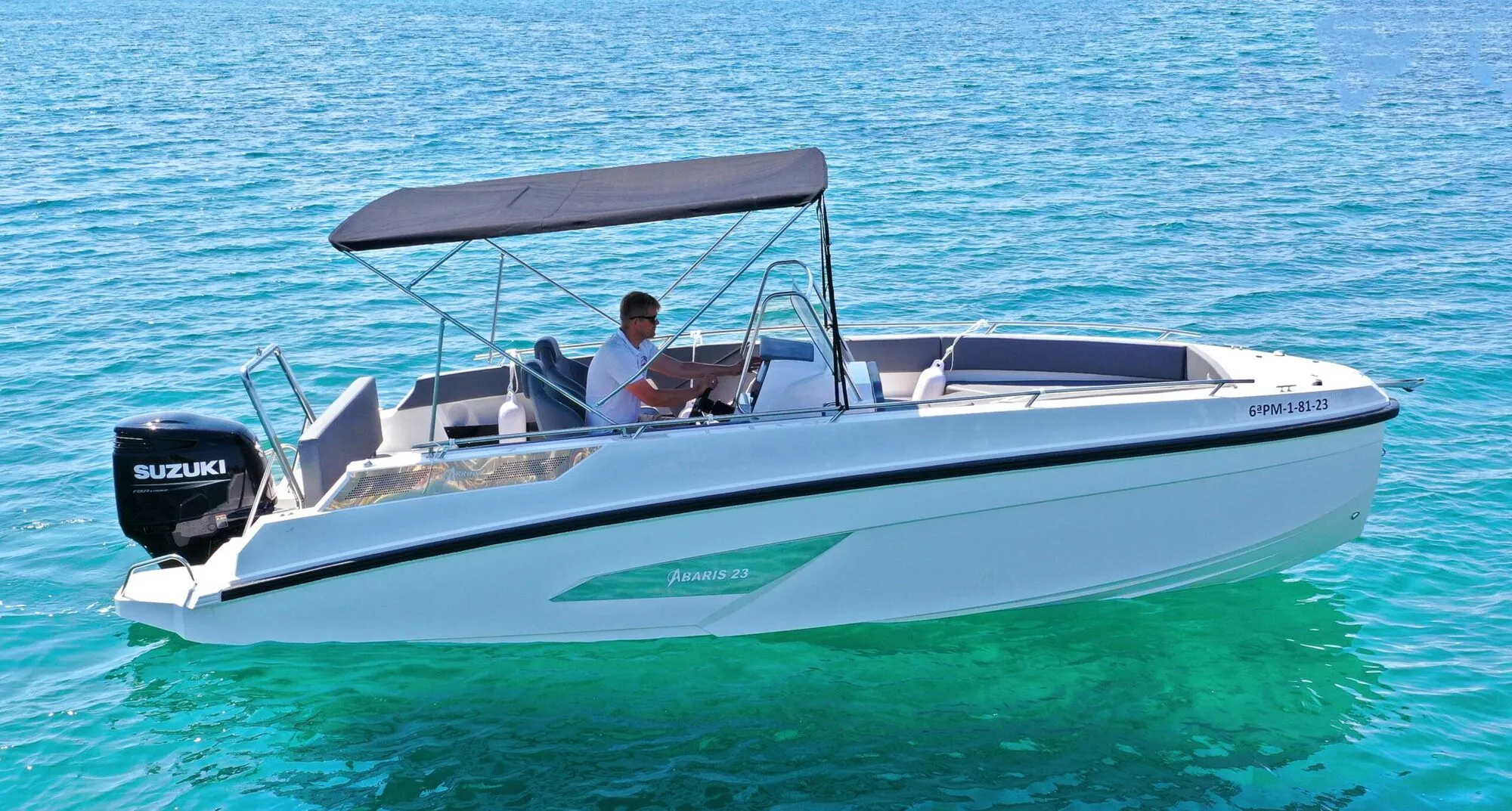 Abaris 2310 seats · 7.4 m · 250 hpLicence or skipperfrom €5784 h
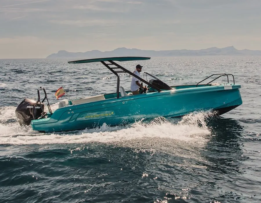 Axopar 22 Spyder Jobe Revolve7 seats · 7 m · 200 hpLicence or skipperfrom €6208 h
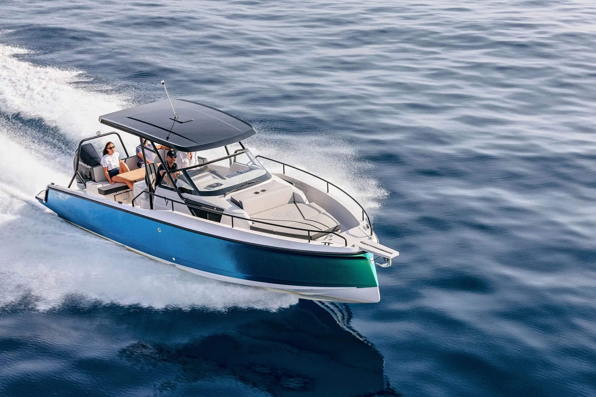 Ryck 2808 seats · 8.8 m · 300 hpLicence or skipperfrom €7354 h
Quick answers
Questions
How far is Cala Murta from Port d'Alcúdia by boat?
About 9 nautical miles, or around 35 minutes at 15 knots.
How deep is the water at Cala Murta?
About 4 m at 100 m from the beach, and about 8 m another 100 m out. The bottom is pebbles and rocks.
Do I need a licence to go to Cala Murta?
Every boat needs a licence holder at the helm, or a skipper. Some of our boats come with a skipper if nobody on board has a licence.